[email protected]
Nous vous répondrons dans les 24 heures
La Poste Autrichienne 5.99 €
Coursier DPD 6.49 €
Service de messagerie GLS 4.49 €
 Contact
 Comment faire ses achats
Assistance
Livraison
La Poste Autrichienne 5.99 €
Coursier DPD 6.49 €
Service de messagerie GLS 4.49 €
Guide d'achat
Nous sommes à votre disposition !
[email protected]
Mon compte
Accédez à une communauté d'amateurs de livres à travers le monde et bénéficiez d’une panoplie d'avantages.
Créer un compte gratuitement
▸
Vide :-(
0
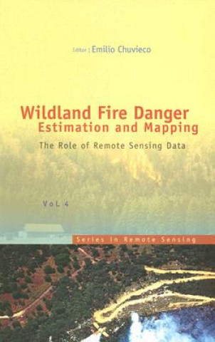
Wildland Fire Danger Estimation And Mapping: The Role Of Remote Sensing Data
Langue
 Anglais
Anglais
Livre
Livre relié
The book presents a wide range of techniques for extracting information from satellite remote sensin...
Description détaillée
Code Libristo: 05067623
?
 467 b
467 b
 BIENTÔT
467 b
BIENTÔT
197.70
€
včetně DPH
Réimpression prévue
 Date inconnue
 common.delivery_to
Date inconnue
common.delivery_to
Politique de retour sous 30 jours
Ceci pourrait également vous intéresser


 /
Livre relié
/
Livre relié
 127.16
€
127.16
€


The book presents a wide range of techniques for extracting information from satellite remote sensing images in forest fire danger assessment. It covers the main concepts involved in fire danger rating, and analyses the inputs derived from remotely sensed data for mapping fire danger at both the local and global scale. The questions addressed concern the estimation of fuel moisture content, the description of fuel structural properties, the estimation of meteorological danger indices, the analysis of human factors associated with fire ignition, and the integration of different risk factors in a geographic information system for fire danger management.
À propos du livre
Nom complet
Wildland Fire Danger Estimation And Mapping: The Role Of Remote Sensing Data
Auteur
Emilio Chuvieco
Langue
Anglais
Anglais
Reliure
Livre - Livre relié
Date de parution
2003
Nombre de pages
280
EAN
9789812385697
ISBN
981238569X
Code Libristo
05067623
Poids
582
Dimensions
163 x 234 x 18
