Livraison
Guide d'achat
16 126 809 livres à l’intérieur 175 langues


Afficher toutes les langues (175)
2 047 052 livres numériques à l’intérieur 101 langues


Afficher toutes les langues (101)


Cela ne vous convient pas ? Aucun souci à se faire ! Vous pouvez renvoyer le produit dans les 30 jours
 Bon d’achat
n'importe quelle valeur
Impossible de faire fausse route avec un bon d’achat. Le destinataire du cadeau peut choisir ce qu'il veut parmi notre sélection.
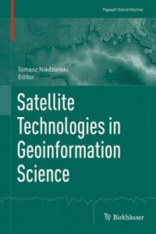
Satellite Technologies in Geoinformation Science
 Anglais
 137 b
137 b
 common.delivery_to
Politique de retour sous 30 jours
Ceci pourrait également vous intéresser


This topical volume covers a wide range of multidisciplinary topics, the common theme of which is processing of remotely-acquired spatial data using geo information methods. Satellite or airborne technologies and geo information itself provide powerful tools for solving numerous scientific problems in the geosciences, as they utilize geophysical principles and offer geophysicists new data and methods. Accordingly, this topical volume focuses on six key topics, presenting research applications of satellite or airborne technologies in geodynamics, geomorphology, meteorology and climatology, hydrology and limnology, oceanography and cartography. These applications make use of numerous remote sensing or observational platforms, including: Light Detection and Ranging (LiDAR), Airborne Laser Scanning (ALS), Rapid Eye, Shuttle Radar Topography Mission (SRTM), Landsat-7, Enhanced Thematic Mapper Plus (ETM+), Moderate-resolution Imaging Spectroradiometer (MODIS), Global Navigation Satellite System (GNSS), Satellite Laser Ranging (SLR), Lunar Laser Ranging (LLR), Doppler Orbitography and Radio positioning Integrated by Satellite (DORIS), as well as several altimetric and gravimetric satellite missions. The remotely-sensed data are processed using various geo information techniques, e.g. spatial interpolation and modeling, object-based image analysis, statistical and geo statistical inference and visualization.§The volume addresses the interests of scientists and practitioners whose work is related to processing remote sensing data using geoinformation methods. Postgraduate students of geography, geodesy, cartography and geophysics as well as students of the broader geosciences will also find the book to be a valuable resource, as it brings together numerous satellite and airborne technologies with geospatial processing methods, presents case studies and examines most applications in the context of basic geophysical principles.§
À propos du livre
 Anglais


 Contact
 Comment faire ses achats


