 Contact
 Comment faire ses achats
Livraison
Guide d'achat
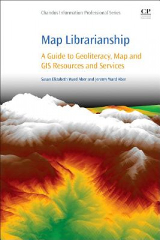
Map Librarianship
 Anglais
 262 b
262 b
 common.delivery_to
Politique de retour sous 30 jours
Ceci pourrait également vous intéresser

This book is proposed as a guide and reference for students studying library, communication, and information science, as well as for library staff working at academic, public, school media, and special libraries. The aim of the book is to identify basic geoliteracy skills and to enhance reference and instruction skills by providing details on finding, downloading, delivering, and assessing maps, remotely sensed imagery, and other geospatial resources and services, primarily from trusted government sources. Referencing and citing styles will be given for maps and geospatial data. Provides a timely and practical guide for the map and geospatial librarian to blend confidence in traditional library skill setsOffers a guide to traditional maps, geographic information system (GIS), remote sensing, and global positioning system (GPS)Includes rarely discussed concepts of citing and referencing maps and geospatial data, fair use and copyrightCreates an awareness and appreciation of existing print map collections, while building digital stewardship with surrogate map and aerial imagery collectionsContains richly illustrated historical and modern maps, satellite imagery, and aerial photography
À propos du livre
Anglais
