Delivery
Shopping guide


Doesn't suit? No problem! You can return within 30 days
 Gift voucher
any value
You won't go wrong with a gift voucher. The gift recipient can choose anything from our offer.
Oxford Primary Atlas
 English
 39 b
39 b
 Delivery to Austria
30-day return policy
You might also be interested in


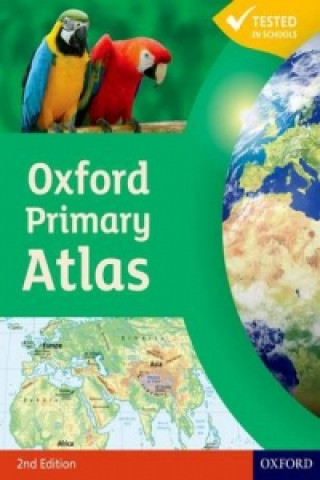
The Oxford Primary Atlas is a clear, bright and informative atlas for all 7-11 year olds. This new edition includes up-to-date country data and easy-to-read colourful mapping, presented in an accessible visual layout based on research into how young children use maps. It features key curriculum themes such as landscapes, water, settlements, connections, and environments. It includes easy-to-use features such as learning statements to summarize each theme, focus panels to prompt independent or group enquiry, innovative grid codes to help children find places listed in the index, colourful photographs to aid children's understanding of map symbols, attractive artwork to provide a 'sense of place', and stimulating graphics to make large numbers easy to understand. This new edition of the Oxford Primary Atlas, specially written to support the requirements of primary geography at Key Stage 2, and incorporating the most popular features of the bestselling Oxford Junior Atlas, uses simple, clear mapping and colourful illustration to create a stimulating and informative atlas for all 7-11 year olds. The Oxford Primary Atlas is also accompanied by the Activity Book for independent work to develop map literacy skills, and the e-Atlas CD-ROM for whole class display on interactive whiteboard.
About the book
 English
Categories


 Contact
 How to shop


