 Contact
 How to shop
Delivery
Shopping guide
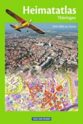
Heimatatlas für die Grundschule - Vom Bild zur Karte - Thüringen
 German
 47 b
47 b
 Delivery to Austria
30-day return policy
You might also be interested in


Informationen zum Titel: §Angepasst an den aktuellen Lehrplan für Heimat- und Sachkunde in der Grundschule§ Informationen zur Reihe: §Die Heimatatlanten führen Schüler/innen des 3. und 4. Schuljahrs zum richtigen Umgang mit Karten. Für Berlin und Brandenburg reichen die Heimatatlanten bis zum 6. Schuljahr. Sie enthalten zusätzliche physische und thematische Karten.§Fotos von geographischen Objekten stellen die Verbindung zum Kartenbild her. Die Schüler/innen lernen unterschiedliche Arten von Karten und den Maßstabsbegriff kennen. Erläuternde Zwischentexte helfen, Karten und Kartensignaturen zu erschließen.§Der zweite Teil ist den Heimatregionen gewidmet. Geographische Überblickskarten, Regionalkarten vom Heimatbundesland, ausgewählte thematische Karten und Fotos sind die Materialgrundlagen.§Die Schüler/innen lernen, das heimatliche Bundesland in die physische und politische Karte Deutschlands und Deutschland in kontinentale Zusammenhänge einzuordnen. Politische Karten zu Europa und der Erde helfen ihnen, Lagevorstellungen zu entwickeln.§
About the book
German
Categories
